
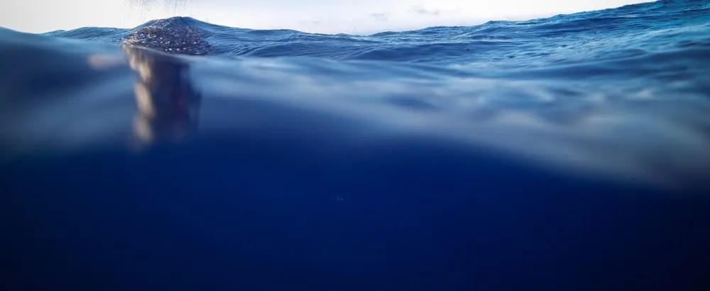
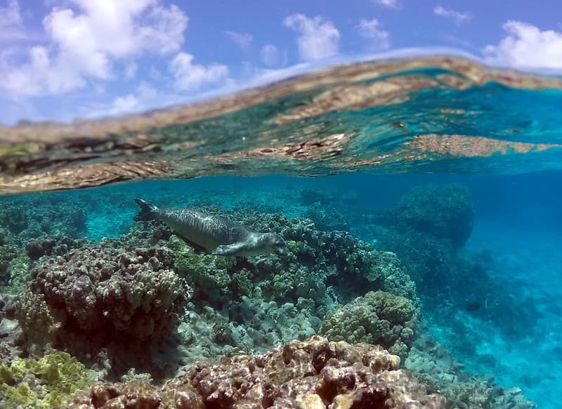
The Ocean
The Global Ocean Monitoring and Observing Program supports research that studies global ocean conditions which help us understand our changing ocean and its impact on the environment
The ocean covers 71% of the Earth’s surface and contains 97% of the Earth’s water.
Global ocean conditions profoundly affect weather, the environment, marine ecosystems, and coastal regions where a large fraction of the global population lives. Observing, monitoring, and understanding the roles of the oceans in weather, seasonal variations, interannual variations (such as El Niño), is a core mission of NOAA. The Global Ocean Monitoring and Observing Program supports research that studies global ocean conditions and variables such as ocean temperature, currents, waves, sea level, salinity, and carbon and oxygen.
What We Learn from Studying the Ocean
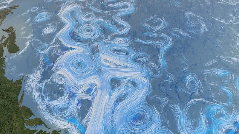
Surface Currents
The ocean communicates with the atmosphere via its surface. Because the ocean covers 71% of the Earth’s surface, Sea Surface Temperatures (SSTs) dominate surface temperature, which is a fundamental measure of climate change. SSTs also control sequestration of heat and CO2 in the ocean, amounts and patterns of precipitation, and large scale circulation of the atmosphere which affects weather. SSTs influence tropical cyclones, and patterns of climate variability, such as El Niño. Surface currents, which transport large amounts of heat from the tropics to subpolar latitudes, exert large influence over SSTs.
Ocean Temperature
The ocean is the Earth’s greatest reservoir for heat that accumulates as a result of the planetary energy imbalance caused by greenhouse warming. Heat absorbed by the ocean raises ocean temperatures, including sea surface temperatures. Quantifying heat sequestration via measurement of ocean temperature is, therefore, critical to predicting global temperature rise attributable to greenhouse gas emissions. Increased storage of heat leads to thermal expansion of water, causing an increase in sea level with profound impacts on coastal communities and ecosystems.
Air-Sea Interactions
The ocean, which stores the bulk of the sun’s energy absorbed by the planet, communicates with the atmosphere via exchanges across the ocean surface. These air-sea fluxes need to be quantified in order to identify changes in forcing functions driving ocean and atmospheric circulation, which in turn control the redistribution of heat, thereby influencing global and regional climate. Evaporation of water from the ocean is an essential component of the global water cycle, which is also influenced by climate change.

Sea Level
Sea level rise, caused by warming and expansion of ocean water and by melting and runoff of land-based ice, is both an impact and a diagnostic of the Earth’s energy imbalance caused by greenhouse warming. Rising sea levels have profound, regionally varying impacts on coastal communities and ecosystems. Quantification of sea level rise provides a sensitive measure of how much heat is sequestered in the ocean as a consequence of greenhouse warming.
Ocean Carbon
Ocean uptake of carbon dioxide (CO2) results in sequestration of about a quarter of all anthropogenic CO2 emissions. As such, the ocean constitutes a large sink for the greenhouse gas most responsible for global climate change. In addition, uptake of CO2 results in acidification of the ocean, with potentially significant impacts on marine biota. Observations are necessary, also, to better understand how cycling among carbon reservoirs varies on seasonal-to-decadal time scales.
GOMO’s vision is to have resilient, innovative, and fully integrated global ocean observing system that benefits scientific research, fosters environmental stewardship and serves society.
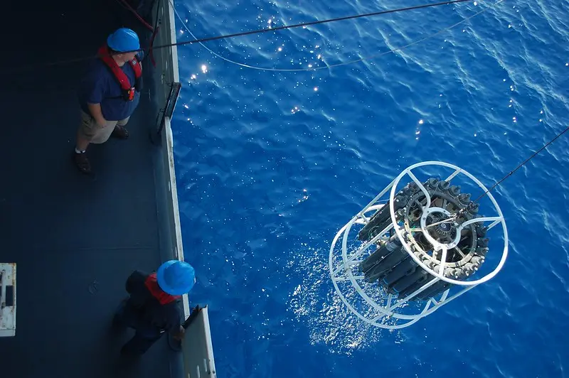
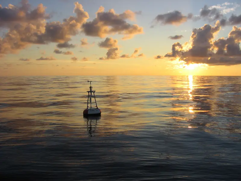
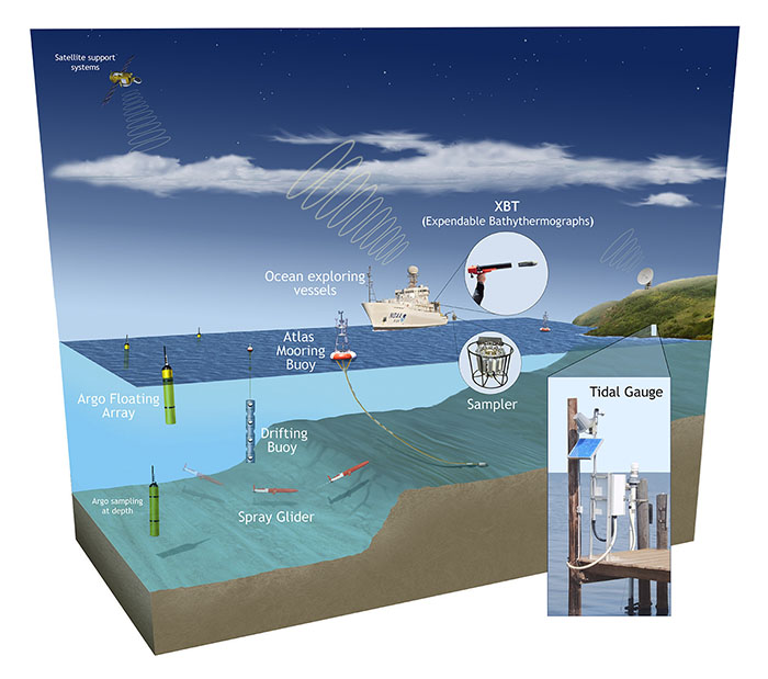
Global ocean observations and research are conducted on ships, as well as by robotic observing instruments such as Argo floats, gliders, drifting buoys, moored buoys, uncrewed surface vehicles such as Saildrones, and an increasing array of innovative tools designed to detect environmental change. GOMO works with partners across NOAA and the Cooperative Institutes, as well as other national and international partners, to collect data and information across the global ocean, and to share that knowledge to serve society.