
OCEAN REFERENCE STATIONS (OceanSITES)
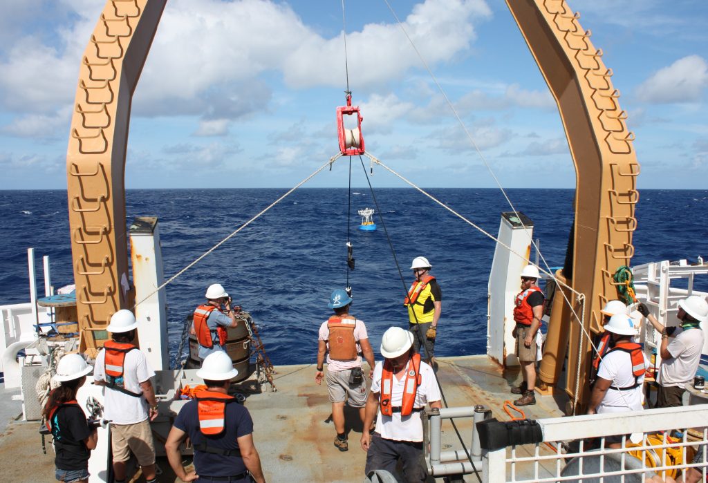
An important component of the global ocean observing system is fixed-point time-series observations at critical or representative locations. OceanSITES is an international group of investigators whose mission is to collect, deliver and promote the use of high-quality data from long-term, high-frequency observations at fixed locations in the open ocean.
GOMO currently supports the following OceanSITES moorings:
WHOTS
The Woods Hole Oceanographic Institution Hawaii Ocean Timeseries (HOT) Site (WHOTS) is located about 100 km north of Oahu, Hawaii in proximity to Station ALOHA (University of Hawaii). WHOTS samples the fully developed trade winds.
NTAS
The Northwest Tropical Atlantic Station (NTAS) lies in the region through which hurricanes that reach eastern North America track and where more accurate representation of how the ocean fuels the growth of those hurricanes is needed.
Stratus
The Stratus project aims to observe and understand air-sea interactions and the surface forcing in the region of the cold tongue/intertropical convergence zone (ITCZ). It is located in a region under persistent marine stratus clouds where models continue to predict sea surface temperatures that are too warm.
CCE
The two moorings operating, called CCE (California Current Ecosystem)-1 and CCE-2, are located in the offshore core and the coastal upwelling regime of the California Current along CalCOFI (California Cooperative Oceanic Fisheries Investigations) line 80. The CCE moorings are intended to serve as an example and nucleus for enhanced autonomous observations of the California Current climate system, carbon cycle, ocean acidification processes, and ecosystem changes.
KEO
The Kuroshio Extension Observatory (KEO) is located in the North Pacific’s western boundary current region, which is characterized by extremely large ocean heat losses to the atmosphere, and carbon dioxide uptake by the ocean.
Papa
Station Papa is located where an ocean weather ship was stationed from 1949-1981. Ocean measurements at Station Papa extend back more than six decades to 1956, making it one of the longest ocean data sets in the world.
SAM
The Southwest Atlantic Meridional Overturning Circulation (SAM) project collects measurements of the ocean boundary currents in the western South Atlantic Ocean. This project is the cornerstone of an international trans-basin array measuring key flows associated with climate impact on heatwaves, droughts, hurricane intensification and more.