
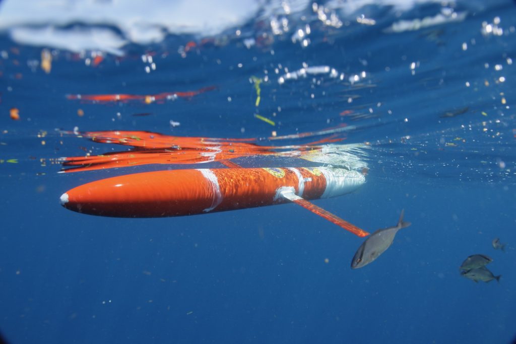
Two hurricane gliders are making their way up the Gulf Stream to measure heat content to help forecast tropical storms and hurricanes. One glider was released on July 24, 2019 from Miami, FL and the other is expected to deploy in September. These deployments are part of a new project from PI Robert Todd at Woods Hole Oceanographic Institution (WHOI).
The Gulf Stream carries large quantities of warm water northward along the US East Coast. This reservoir of warm water can be an important source of energy to fuel hurricanes. Measuring the heat content in the Gulf Stream along the coast from Florida to North Carolina helps inform forecasts for a region in which tropical storms and hurricanes often form or intensify. Northeastward from from North Carolina, the Gulf Stream flows away from the coast and its northern edge is a boundary between the warm tropical waters that fuel hurricanes and the much cooler subtropical waters that can weaken passing hurricanes. Measuring the location and shape of this boundary is important for informing forecasts of when and where storms may begin to weaken and lose their tropical characteristics. Complementing satellite measurements that capture sea surface temperatures, the gliders provide key information on the subsurface heat content available to passing storms